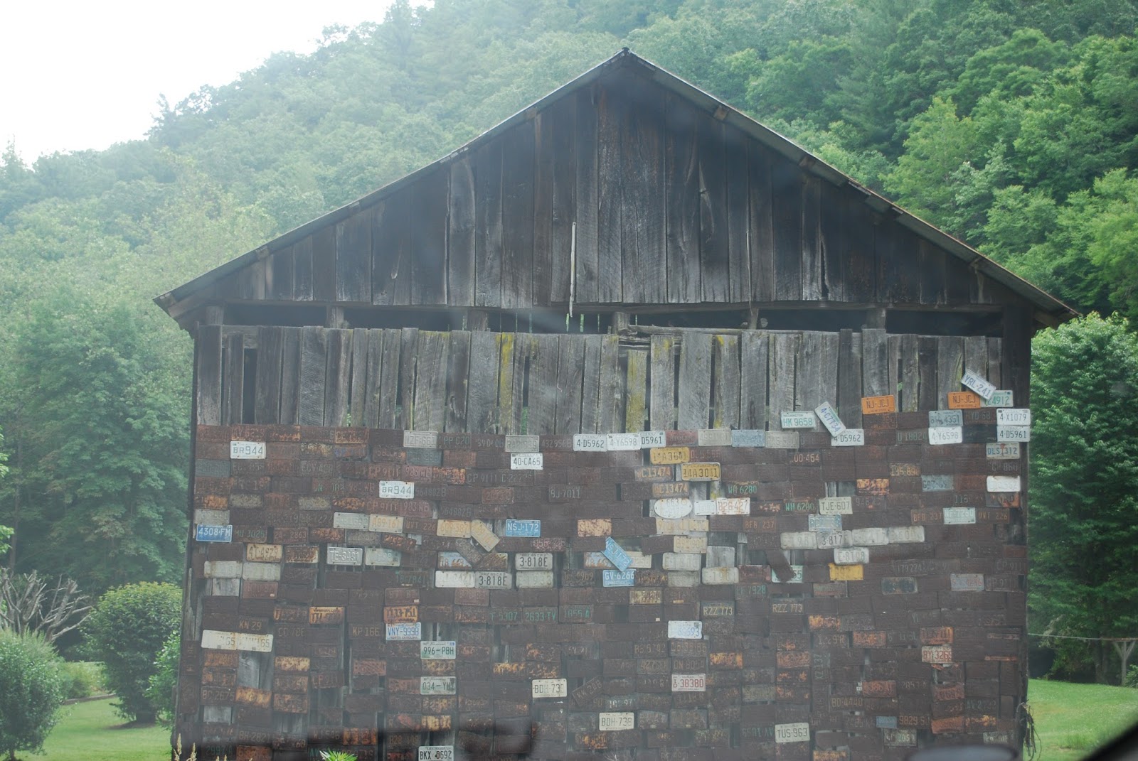
Trail: The Appalachian Trail at Max Patch Mtn.
Ranking: number 4
Where: Closest town is Hot Springs, NC
When: October 2006, June 2007, June 2008, June 2013
Cost:
None
Who:
Twice
solo, once with my parents, once with a friend
WARNING: horrible pictures ahead.
Do you have a special corner of the world you keep returning to for it's beauty? Maybe it is a place of relaxation. Maybe no one else knows about it so you can enjoy solitude. Maybe it brings back childhood memories. Maybe it is not out in nature, or along a trail, but a hole-in-the-wall place in a city. No matter what it is, I wish everyone could have one, even if other people don't understand the reasoning behind it. They don't have to.
My place is Max Patch Mountain, although I have only been there 4 times. It is is 4 hours one way from Charlotte, so it does not make for a fun day trip. But if you stay in Asheville, as I did on ALL 4 occasions described below, it makes for an awesome side trip.
I
kept hearing about this specific gorgeous spot along the AT (I used to read
trail journals like one would read a novel – all curled up under covers with
popcorn and a soda). The spot was on a bald mountain, cut down to make a
pasture of some sort in the 1800s. As a result of the clearing, one can see in
every directions for miles when on top of Max Patch.
I
finally decided I would check out the place in the fall of 2006. I was solo,
but the hike from the parking lot to the AT was less than a half mile, and it’s
very gentle elevation. I actually ponder whether or not I could handle it now, even with cancer, because it is that easy of a hike.
(Not solo, of course). In fall 2006, there actually were cars in the tiny trailhead parking lot though it is very remote and very hard to find. A young couple there were pondering their choices. I felt totally at ease. Plus, once on top
of the bald mountain, one can see down to the cars in the parking lot. PLUS . .
. IT WAS SNOWING.
It
doesn’t matter the forecast for Charlotte or Asheville or even Hot Springs . .
. once you travel up those dirt roads, seeing less and less cars, people and
homes, there is a whole new weather system. I was not expecting snow in October, so it
made my little hike way more special. I was in awe of the scenery, but unfortunately
I can only find two pictures from that day’s hike:
 |
| Sorry for the pictures of photos. This is the trail winding up to the AT. Is is literally a quarter of a mile. |
 |
| This was before the snow. Everything was frosted. |
I could not explain to others why I felt like Max Patch was so special to me. Even on the chilly day when I could barely sit on the ground to take it all in.
After
this day, Max Patch became a June hike. I didn’t plan it this way, it just sort of
happened. I brought a friend there in June 2007. The fields were covered in
wild flowers, insects buzzed in all volumes and families enjoyed picnics and
kite flying. Can there be a better place than Max Patch to fly a kite? I see a
trip idea with Brycen forming here . . .
 |
| There is also a trail straight up the hill. It is more defined now than it was in 2007. |
We
could also hear the distant sound of thunder, but it was sunny at the patch. Even with all this beauty I could see on my friend's face that this place was just another field of flowers, nothing special.
A
year later My dad and I decided to hike 5 miles of the AT together, from Max Patch to Lemon Gap. He had just read A Walk in the Woods and was eager to thru hike the entire trail. (I think our little hike on this day, while uneventful, convinced him not to do it). My mom even joined us on top of Max Patch, before returning to the parking lot and then driving 5
miles up the road to pick us up at Lemon Gap. As we neared the parking lot at
Lemon Gap we saw her leaving and we started to shout and run and my dad even threw a
water bottle at her car. Turns out she was just turning the car around. Ooops.
The hike was wonderful looking back, but it was not as fun hiking it as we hoped it would be. We were mostly spooked by how quiet the woods were, and then we seemed to have hiked forever, and we were worried we missed the trail leading to Lemon Gap. What if we had hiked south instead of north? Also my dad dropped a water bottle down a little ravine and could NOT leave it there to rot, so I could only stand there and hope he could make it down and back without hurting himself.
 |
| Trail shelter along the AT. It was so quiet in this spot we were instantly spooked. |
 |
| Looking up at Max Patch from the other side of the hill. |
Finally
in June 2013 I returned solo again. When I arrived a lone ranger was leaving, and I
felt like I had the whole place to myself. The place once again seemed magical.
This time I just hiked straight up the hill instead of the adjacent trail to
the AT.
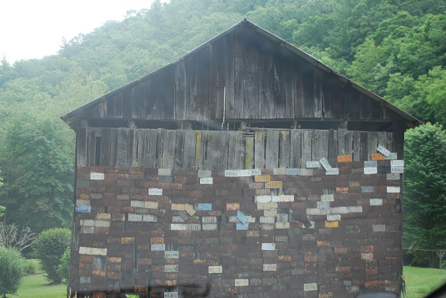 |
| A barn on the way up the mountain to Max Patch |
 |
| These pictures make me want summer to hurry up and arrive. |
 |
| Blink and you'll miss the signs to Max Patch. But at least there were signs! |
When I arrived on top I saw a big yellow school bus unloading in the
parking lot! There went my solitude.
I
desperately want to go here to star gaze. It’s been on my bucket list for
years. I think this year, when it warms up, I will have to do it. Also, a sunrise or sunset!
I have been reading a book about thru hiking and discussing it with online friends. One important part of thru hiking is trail magic. In fact, it almost seems like people rely on food and drink to appear in spots on the PCT. A cooler cache made by some magical and mysterious trail angel. Anyway, by June north bound thru hikers are WAY past Max Patch on the Appalachian Trail. I should find out when they do cross the mountain - because it would be a great place to set up trail magic. Cream soda anyone?
Do you have a special place you hope to return to?